Slogen (1,564 m) is one of the best-known peaks in the Sunnmøre Alps of Western Norway. The standard route starts in Øye at the head of the Hjørundfjord, climbs to the Patchell hut and follows an exposed ridge to the summit. Expect just over 1,500 m of elevation gain and 7–9 hours return. You need good fitness, sure feet and stable weather. Lingering snow makes it harder in early summer.
Slogen at a glance
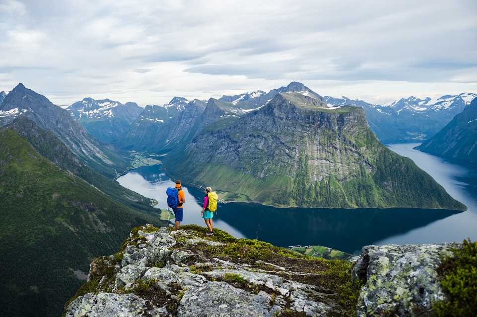
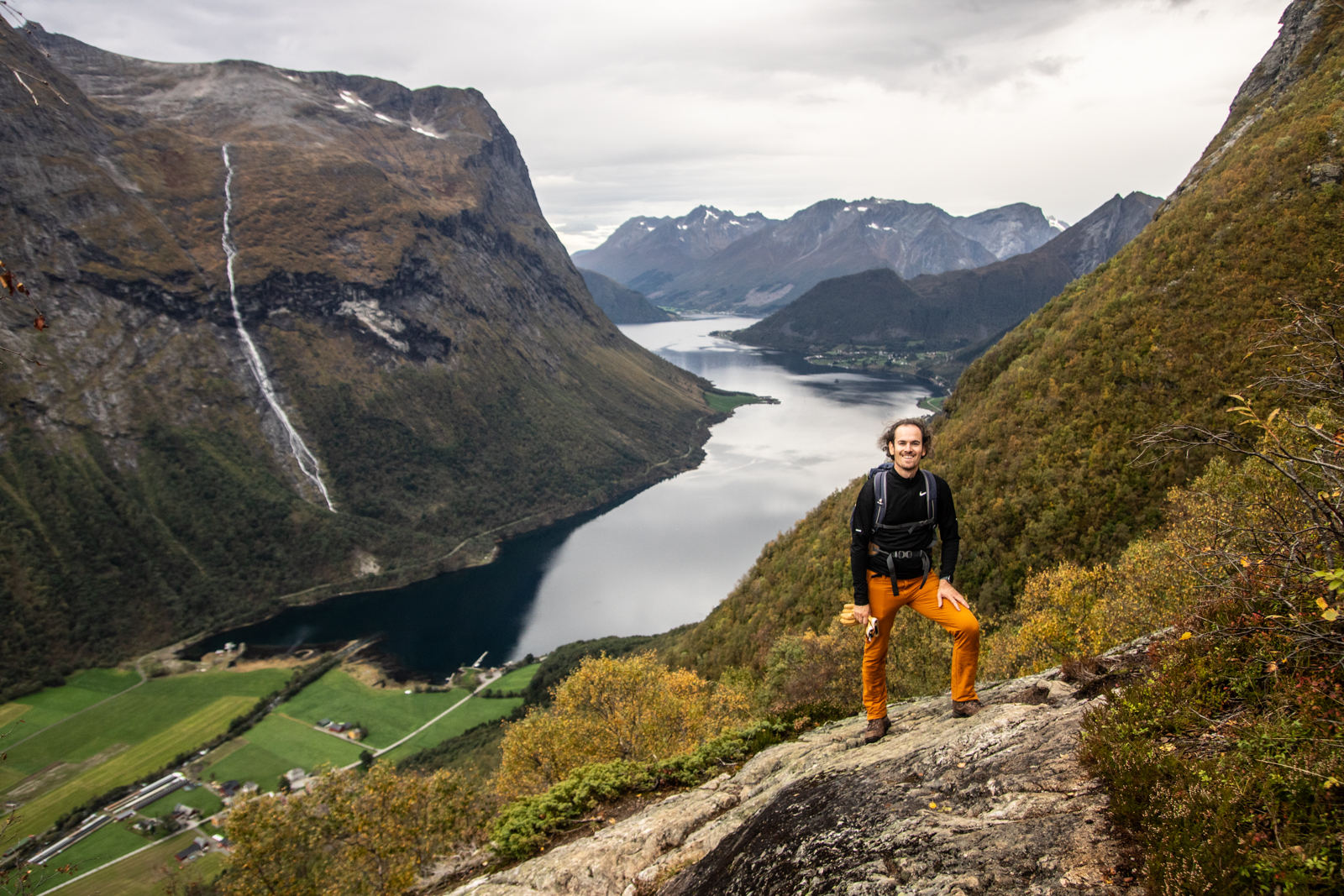
Slogen rises straight out of the Hjørundfjord, and from the summit you look down on the fjord and across the jagged peaks around the Norangsdalen valley. Mountaineers have come here since the late 1800s. The British pioneer William Cecil Slingsby was among those who put the Sunnmøre Alps on the map. The trailhead is almost at sea level, so you climb every metre yourself. That is why Slogen is a tough day hike, even though the standard route needs no climbing gear in snow-free conditions.
Key facts
- Height: 1,564 m above sea level
- Trailhead: Øye, at the head of the Hjørundfjord
- Elevation gain: just over 1,500 m
- Time: 7–9 hours return for fit hikers
- Challenges: steep trail, scree and an exposed ridge near the summit
- Best hiking season: midsummer to early autumn, depending on snow
Where is Slogen?
Slogen is in the Sunnmøre region of Western Norway, in the mountains above the Hjørundfjord. The small village of Øye sits at the inner end of the fjord and is the starting point for the hike. From Ålesund you reach the Hjørundfjord by car and ferry.
The route from Øye, step by step
1. Through the forest and up to the Patchell hut
From Øye the trail climbs through forest and a steep hillside. The path is clear but steep, and it can be slippery after rain. Take it easy at first – there is a long way to go. The Patchell hut (Patchellhytta) sits in a col below the summit, and most hikers take a longer break here. The hut is also the natural place to turn back if the weather changes or your legs give out.
2. The ridge to the summit
Above the hut the terrain becomes more alpine. You cross scree and boulders and eventually follow a narrow ridge with steep drops on both sides. In places you will need your hands. In dry weather with good visibility this is an unforgettable part of the hike. In fog, wind or snow, this is where most accidents and near-misses happen. Snow patches can linger well into summer. Without crampons, an ice axe and experience, turn back before you have to cross steep snow.
3. The descent
You descend the same way. Many people underestimate how long the descent is and how hard it is on the knees. Plan your time and energy, and carry a headlamp in late summer and autumn.
Safety and gear
- Check the forecast, and turn back rather than heading into fog on the ridge.
- Wear proper hiking boots with good grip. Trainers are not enough on scree and wet rock.
- Dress in layers: windproof and waterproof jacket, wool or fleece, hat and gloves.
- Bring enough water and food. There are few reliable water sources high up.
- Carry a map and a charged phone, and tell someone where you are going.
- Early in the season you may need to assess snow and avalanche risk. Learn more on our avalanche course page.
Guided Slogen hike
Many people choose to hike Slogen with a guide the first time. A local mountain guide knows the route, assesses weather and snow along the way and makes the call to turn back if needed, so you can focus on the hike itself. We offer an alpine hike to Slogen from the Hjørundfjord. It is a demanding tour of around eight hours, suited to fit hikers who want to reach the summit safely.
Saksa – the shorter classic
Saksa (1,066 m) rises above the village of Urke on the Hjørundfjord. The summit has a distinct notch that gives the mountain its name (saksa means “the scissors”). The hike is shorter than Slogen, with around 1,000 m of elevation gain from the fjord, and most people take 4–6 hours return. The trail is steep, and near the top there is an exposed section where you need your hands. The view over the Hjørundfjord and across to Slogen is why many hike Saksa first – it makes a good warm-up before attempting Slogen later in your trip. If you want company, join a guided Saksa hike with a local guide.
Bladet in Molladalen – for climbers
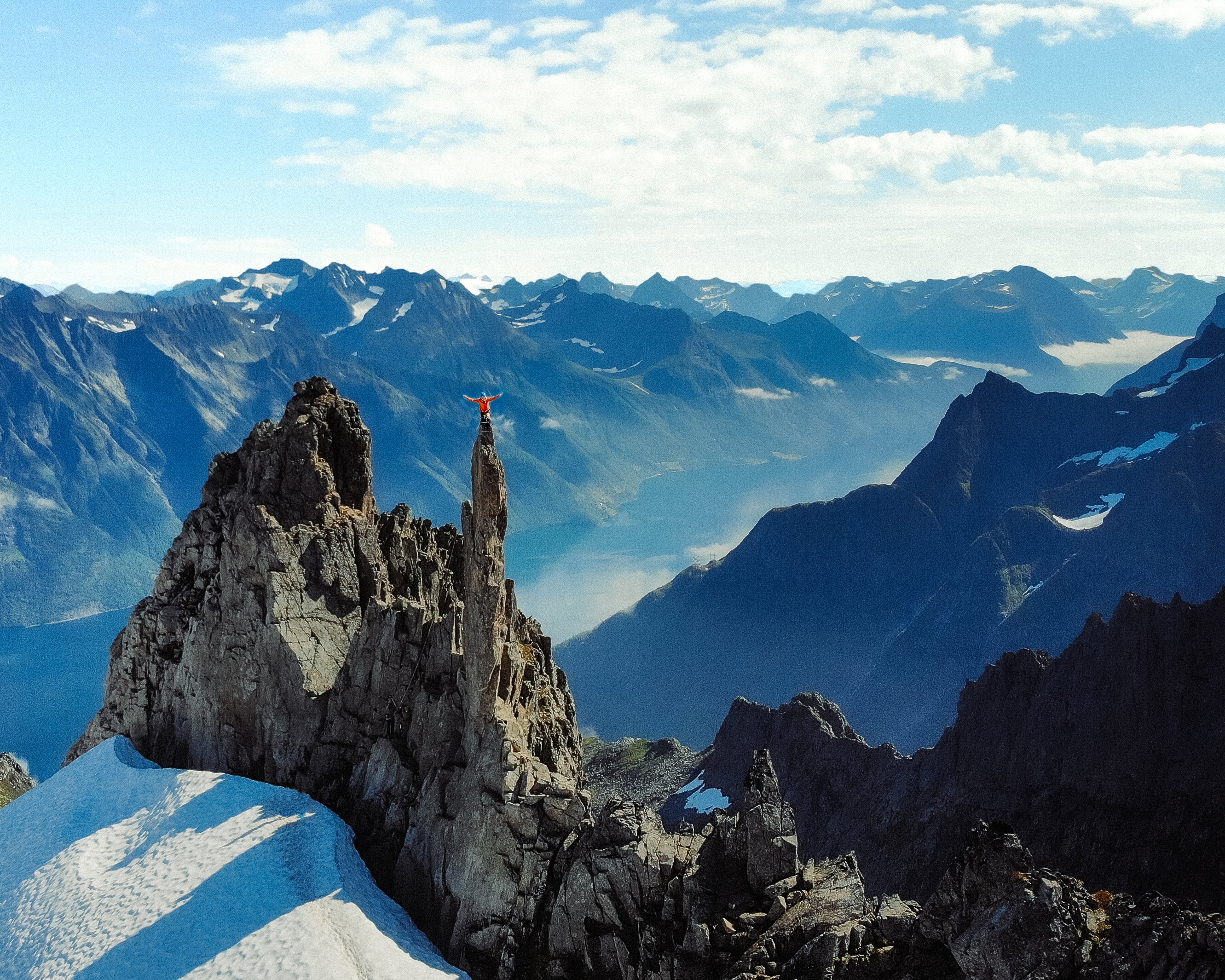
Molladalen is a remote valley ringed by sharp alpine peaks. Bladet (“the Blade”) is its most famous formation: a thin spire that looks like a knife blade against the sky. Bladet is not a hike. The summit requires roped climbing with protection, and the approach through Molladalen is long in itself. If you have no climbing experience, go with a certified guide. See our climbing trips.
What are the Sunnmøre Alps?
The Sunnmøre Alps (Sunnmørsalpene) is the name for the sharp, alpine mountains of the Sunnmøre region. The core area lies around the Hjørundfjord, Norangsdalen and the Storfjord. The mountains rise almost straight out of the fjords, which means short distances from sea to summit – but also steep hikes. In summer the area is known for hiking and climbing. In winter and spring it is considered one of Norway’s best-known ski touring areas, with descents all the way down to the fjord.
Ski touring on Slogen and in the Sunnmøre Alps
Slogen is also a classic spring ski touring objective. Steep terrain and avalanche risk mean it only suits experienced skiers, or those skiing with a guide. If you want to learn to assess snow and terrain yourself, a basic ski touring course is a good place to start. For a full week of guided tours in the area, try our ski touring week in the Sunnmøre Alps. Find more trips under ski touring.
Hiking from Ålesund
If you are staying in Ålesund, you reach the Hjørundfjord by car and ferry. Slogen and Saksa work best as full-day trips with an early start. For hikes closer to town, see Ålesund and our hiking trips.